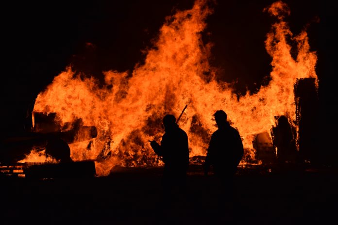
Record-breaking wildfires have consumed the Western United States, leaving entire swathes of California, Washington, and Oregon completely decimated, whole hillsides and forests have been turned into ash.
Another major consequence of the fires has been worsening air quality as massive plumes of toxic smoke and ash blankets whole regions of the west coast. Unless you’re living on the west coast, it may be difficult to imagine the severity of the crisis.
There are three apps currently leading the charge in tracking air quality across the west coast which show just how dangerous the air currently is – AirNow, PurpleAir, and IQAir.
For residents across the region, these apps have proved to be extraordinarily helpful in deciding whether it safe or not to go outside. On top of these apps, air quality sensors made by the aforementioned companies as well as others have begun to be snapped up in droves, not to mention air purifiers, which this writer has been running around the clock.
According to Google Analytics data, roughly 600,000 residents visited the PurpleAir air quality map on September 9, 2020, as the skies above Oakland and San Francisco exhibited an eerie ‘orange glow.’ The data suggests that the majority of the app’s visitors were California residents – one of the first states to be pummeled by wildfires.
People are becoming increasingly aware of air pollution
An increasing number of users appeared from Oregon and Washington by Sep. 10 as widespread evacuations began to occur across the two states, Oregon in particular.


