Colt Fire Blaze Amplifies, Prompting Widespread Evacuations
America ı By Rais Lilia
274 0 Comments
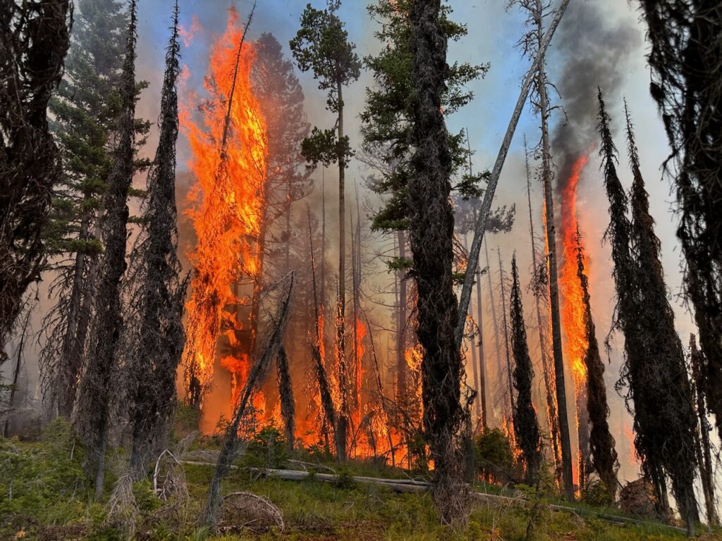
Late-night aerial mapping reveals the wildfire known as the Colt Fire, tearing through the landscape northwest of Seeley Lake, has drastically amplified in size, practically doubling from its last reported dimensions.
Fire Grows With Intense Heat Surges
The Colt Fire, according to fresh data obtained from a midnight flight, has ballooned from a substantial 1,575 acres to a staggering 2,927 acres. As it devours the landscape, the wildfire appears to be growing unencumbered, with containment efforts currently sitting at 0%.
Over 400 firefighting personnel, tirelessly battling the blaze on the ground, are witnessing the fire expand in all directions, but predominantly south, southwest and southeast. The southern section of the fire is experiencing a powerful surge of heat, akin to a volcanic eruption's intensity.
Evacuation Orders and Warnings Issued
With the Colt Fire spreading rapidly, the Missoula County Sheriff's Office has deemed it necessary to issue multiple evacuation orders and warnings. Residents living along Highway 83, between mile markers 31 and 27, which includes Beaver Creek Road at the junction of Highway 83 and those in Rovero Flats, are under an evacuation order.
Highway 83's residences, starting from mile marker 27, the southern end of Rovero Flats, to mile marker 25.5 (where the West Fork of the Clearwater Road intersects with Highway 83) have been issued an evacuation warning. Beaver Creek Road, near the summit, is also subject to this warning.
Another evacuation warning echoes for residents on Lake Inez's northern and southern extremities. However, the residences on the east side of Lake Inez, lining Highway 83, are yet to be under any warning or order.
Evacuation Shelter Prepared
Those who have been evacuated due to the raging Colt Fire and are seeking shelter are urged to contact the Red Cross at (406) 215-1514. The organization has an evacuation shelter prepared in Ovando, ready to welcome evacuees if required.
FOLLOW US


Recent Posts

CAF Strips Senegal from Title, Morocco Crowned 2025 AFCON Champions

IBM Completes Confluent Acquisition, Ushering in Real-Time AI Data Era

Aden Holloway Marijuana Charge Casts Shadow Over Alabama Ahead of…

Georgia VA Clinic Shooting Sparks Multi-Agency Investigation After Deadly Confrontation

SpaceX Launch Lights Up California Sky as Falcon 9 Sends…

Kouri Richins Convicted of Poisoning Husband in Chilling Utah Murder…

Cause of a Meteor in Northeast Ohio Traced to Explosive…
Don’t Miss It
MTA Sues Trump Administration Over Subway Funding in High-Stakes Infrastructure Clash
By – Rihem AkkoucheThe Lycra Files for Chapter 11 in Bid to Untangle $1.2 Billion Debt
By – Rihem AkkoucheJoe Kent Resigns, Exposing Deep Divisions Over Iran War
By – Rihem AkkoucheGregory Bovino Retirement Ends Controversial Border Patrol Career
By – Rihem AkkoucheNew Molten Planet Identified, Revealing Possible New Class of Alien Worlds
By – Rihem AkkoucheBank of America Epstein Survivors’ Lawsuit Settlement Reached in High-Profile Abuse Case
By – Rihem AkkoucheWiles Announces Cancer Diagnosis as White House Chief of Staff Continues Duties
By – Rihem AkkoucheEuropean Publishers Google Probe Intensifies as EU Faces Pressure to Act
By – Rihem Akkouche
Kelly Warner Law Firm Blames USA Herald for Arizona Bar Investigation
In what appears as a desperate attempt to defend multiple allegations of fraud on the courts, the Kelly Warner Law…
By – USA Herald
Aaron Kelly Law Firm Resorts To Attacking Former Client Again On KellyWarnerLaw.com – Pattern Recognized
Attorney Aaron Kelly and his law partner Daniel Warner are currently under investigation by the Arizona Bar for legal misconduct.…
By – Jeff Watterson
Arizona Bar Opens Investigation on Attorney Aaron Kelly
USA Herald recently reported on a developing story involving Attorneys Daniel Warner and Aaron Kelly. Both Warner and Kelly have…
By – Paul O'Neal
Apple AirPods Max 2 Launch Unveils Powerful Audio Upgrades and Smart Features
The Apple AirPods Max 2 launch has officially arrived, introducing a new generation of the company’s premium over-ear headphones with…
By – Rihem Akkouche
Trump’s Pastor Paula White Draws Scrutiny As Religion Enters Iran War Debate
INSIDE THE REPORT As tensions between the United States and Iran intensify, a parallel debate has erupted online and across…
By – Samuel Lopez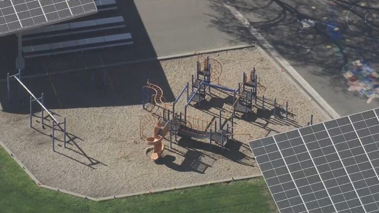
10-Year-Old Stabbing Luxury School Sparks Shock in Mountain View
A violent incident on a playground in a wealthy California enclave left parents and residents reeling after a 10-Year-Old stabbing…
By – Rachel Moore
Baltimore Teacher Elementary School Death Shocks Community
The sudden loss of a longtime educator has left a school community grieving after the Baltimore teacher elementary school death…
By – Rachel Moore
2k US Flights Cancelled as Midwest Blizzards Paralyze Major Airports
A powerful wave of winter storms has grounded travelers across the country, with 2k US flights cancelled Sunday as blizzard…
By – Rachel Moore
Infant Killed in Ambulance Crash After Drunk Driver Runs Red Light in Philadelphia
A heartbreaking tragedy unfolded early Sunday morning in Philadelphia, where an infant killed in ambulance crash has left a community…
By – Rachel Moore
Infant Killed in Ambulance Crash After Drunk Driver Runs Red Light in Philadelphia
A heartbreaking tragedy unfolded early Sunday morning in Philadelphia, where an infant killed in ambulance crash has left a community…
By – Rachel Moore
Heat Wave Warning for Southern California Signals Historic March Temperatures
An extraordinary heat wave warning for Southern California is sending alarm bells across the region as meteorologists warn that a…
By – Rachel Moore
US Service Members in Iraq Plane Crash Identified After Deadly Military Incident
The U.S. military has revealed the identities of six crew members killed in a devastating aviation accident over Iraq, an…
By – Rachel Moore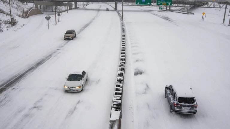
Major March Snowstorm Paralyzes Minnesota as Travel Warnings Spread
A powerful winter system is sweeping across the Upper Midwest, burying communities in heavy snow and shutting down travel across…
By – Rihem Akkouche
Hapag Lloyd to Acquire ZIM as Executives Sell Millions in Shares Ahead of Deal
A major shake-up is unfolding in the global shipping industry as Hapag Lloyd to acquire ZIM becomes the centerpiece of…
By – Rihem Akkouche
Sharks in the Chicago River? Viral Sightings Turn Out to Be a Clever Movie Stunt
Residents and tourists in Chicago did a double take Saturday morning as mysterious fins sliced through the bright green water…
By – Rihem Akkouche
Sharks in the Chicago River? Viral Sightings Turn Out to Be a Clever Movie Stunt
Residents and tourists in Chicago did a double take Saturday morning as mysterious fins sliced through the bright green water…
By – Rihem Akkouche
Raytheon Satellite Terminal Contract Expanded by $2 Billion in U.S. Air Force Deal
The U.S. military has dramatically expanded a key defense communications program, boosting the Raytheon satellite terminal contract by more than…
By – Rihem Akkouche
Meta 20% Workforce Cut Could Reshape Tech Giant as AI Spending Surges
A sweeping shift may be unfolding inside Meta Platforms, as reports suggest the social media giant could be preparing a…
By – Rihem Akkouche
Thomas Medlin Found Dead in Brooklyn Waters After Two-Month Search
A tragic chapter in a months-long search ended this week after authorities confirmed Thomas Medlin found dead, bringing painful closure…
By – Rachel Moore
American Refuelling Aircraft Crashed in Iraq During Military Operation
A tense search-and-rescue effort unfolded Thursday after an American refuelling aircraft crashed in Iraq, according to U.S. military officials, in…
By – Rachel Moore
Astronomers Witness Birth of a Magnetar in Explosive Cosmic Event
For the first time in recorded observation, scientists have watched the dramatic moment when a powerful stellar corpse emerged from…
By – Rachel Moore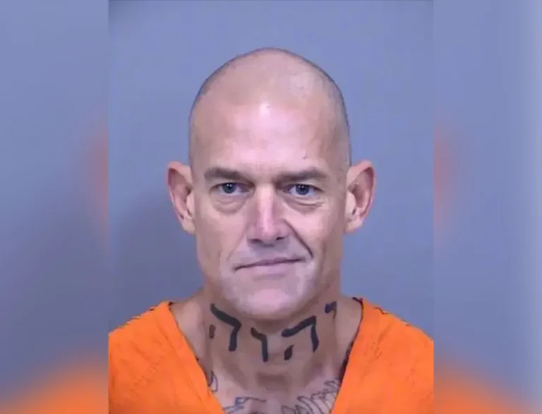
Arizona Man Accused of Crucifying Pastor Pushes Judge For A Quick Death Sentence
By Samuel A. Lopez | USA Herald – An Arizona courtroom is now the center of a deeply disturbing case…
By – Samuel Lopez
Trump’s Laser Talk Sparks New Questions About America’s Secret Arsenal
President Donald Trump has once again done what he often does best in moments of war and tension: he dropped…
By – Samuel Lopez
The Northern Lights Return
The Northern Lights have a chance to be visible from several northern U.S. states on Tuesday night, forecasters at the…
By – Jackie Allen
February Unemployment Up as Job Losses Surprise Economists
February Unemployment Up as the latest labor market data revealed weaker-than-expected job growth and a slight increase in the national…
By – Jackie Allen
Late-Night Attack by Venezuelan National at Florida Beach
A Late-night attack by a Venezuelan National has left a Florida community shaken after authorities say a 26-year-old man ambushed…
By – Jackie Allen
Trump’s War in Iran: Congress Confronts Escalation After U.S. Strikes
Trump’s War in Iran was triggered open conflict, casualties, and renewed constitutional debate in Washington. The crisis intensified following reports…
By – Jackie Allen
AI Deepfake Warfare Emerging As The Next Legal Battlefield In 2026 Election Cycle
Inside This Report Artificial intelligence can now generate hyper-realistic videos and voices that are nearly impossible to distinguish from reality—raising…
By – Samuel Lopez
A Violent July 4 Attack Leads To Federal Convictions For Nine Antifa Cell Members Convicted In Prairieland ICE Detention Center Shooting
Three Critical Points Readers Should Know A federal jury convicted nine alleged members of a North Texas Antifa cell for…
By – Samuel Lopez
Trump UFO Directive Could Shake Religion Science And Power Structures Worldwide
By Samuel A. Lopez | USA Herald – Something unusual is happening in Washington. President Donald Trump has ordered federal agencies to…
By – Samuel Lopez
Ancient Astronomers Warned That Strange Skies Precede Global Upheaval—Why Their Writings Are Being Revisited Today
By Samuel A. Lopez | USA Herald – Across thousands of years and multiple civilizations, humanity has always looked upward…
By – Samuel Lopez
Oil, War, and the Insurance Shockwave Already Hitting America
[USA HERALD] – The world’s most important shipping lane has once again become the center of a geopolitical storm—and this…
By – Samuel Lopez
US Navy Prepares To Escort Tankers Through Strait of Hormuz As Oil War Risks Escalate
By Samuel A. Lopez | USA Herald – The world’s most important oil chokepoint may soon be guarded by U.S. warships.…
By – Samuel Lopez
War Insurance Reality Americans Face Even When the Battlefield Is Overseas
By Samuel A. Lopez | USA Herald – When Americans hear news of airstrikes in the Persian Gulf, naval confrontations…
By – Samuel Lopez
Supreme Court Asked To Step In As 98-Year-Old Federal Judge Pauline Newman Fights Suspension From The Bench
[USA HERALD] – For more than four decades, one of the most influential judges in American patent law helped shape…
By – Samuel Lopez
Iran Appears To Have Conducted Its First Major Cyberattack Against A U.S. Company, Since The War Began – New Front Opens Against American Healthcare
An alleged Iran-linked cyberattack on Stryker appears to mark a dangerous turn in the conflict, pushing digital retaliation from nuisance-level…
By – Samuel Lopez
Beyond Gas Prices The Strait of Hormuz Crisis Could Hit Fertilizer, Plastics, Aluminum And Global Supply Chains
By Samuel Lopez | USA Herald – Right now, most Americans hearing about the Strait of Hormuz are thinking about…
By – Samuel Lopez
When The Files Are Finally Unsealed The Most Mind-Bending Truth May Not Be What We Expect
[USA HERALD] – There is a widespread assumption that if governments release their most highly classified files related to unidentified…
By – Samuel Lopez
Civil Rights Icon Rev. Jesse Jackson Dies at 84 As President Trump Issues Personal Tribute
[USA HERALD] — The Rev. Jesse Jackson, a towering figure of the American civil rights movement whose career spanned more than…
By – Samuel Lopez
The World Cup Security Reckoning: Trump Warns Iran Soccer Team About Safety As War Tensions Spill Into Global Sports
By Samuel A. Lopez | USA Herald – A short Truth-Social post from President Donald Trump on Thursday morning is now…
By – Samuel Lopez
Trump’s War in Iran: Congress Confronts Escalation After U.S. Strikes
Trump’s War in Iran was triggered open conflict, casualties, and renewed constitutional debate in Washington. The crisis intensified following reports…
By – Jackie Allen
Cadillac Names Inaugural Formula 1 Car MAC-26 in Tribute to Mario Andretti Ahead of 2026 Australian Grand Prix Debut
Cadillac has officially revealed the name of its first Formula 1 challenger, confirming that its 2026 car will be called…
By – Ahmed Boughalleb
Norway Tops Medal Table After Day 13 at 2026 Winter Olympics as Team USA Surges Into Second Place
With 13 days complete at the 2026 Milan Cortina Winter Olympics, Norway sits atop the overall medal standings, collecting 34…
By – Ahmed Boughalleb
Olympic Science Explained: How Figure Skaters Spin at Blinding Speeds Without Getting Dizzy
When Amber Glenn finishes her routine, the arena usually rises with her. The music builds, her blades carve a tight…
By – Tyler Brooks
Olympic Villages Run Out of Condoms at 2026 Milan-Cortina Games
Condom supplies in the Olympic Villages at the 2026 Winter Games have been temporarily depleted, the Milan-Cortina organizing committee confirmed,…
By – Tyler BrooksNo posts found.
No posts found.
 No comments yet. Be the first to comment!